
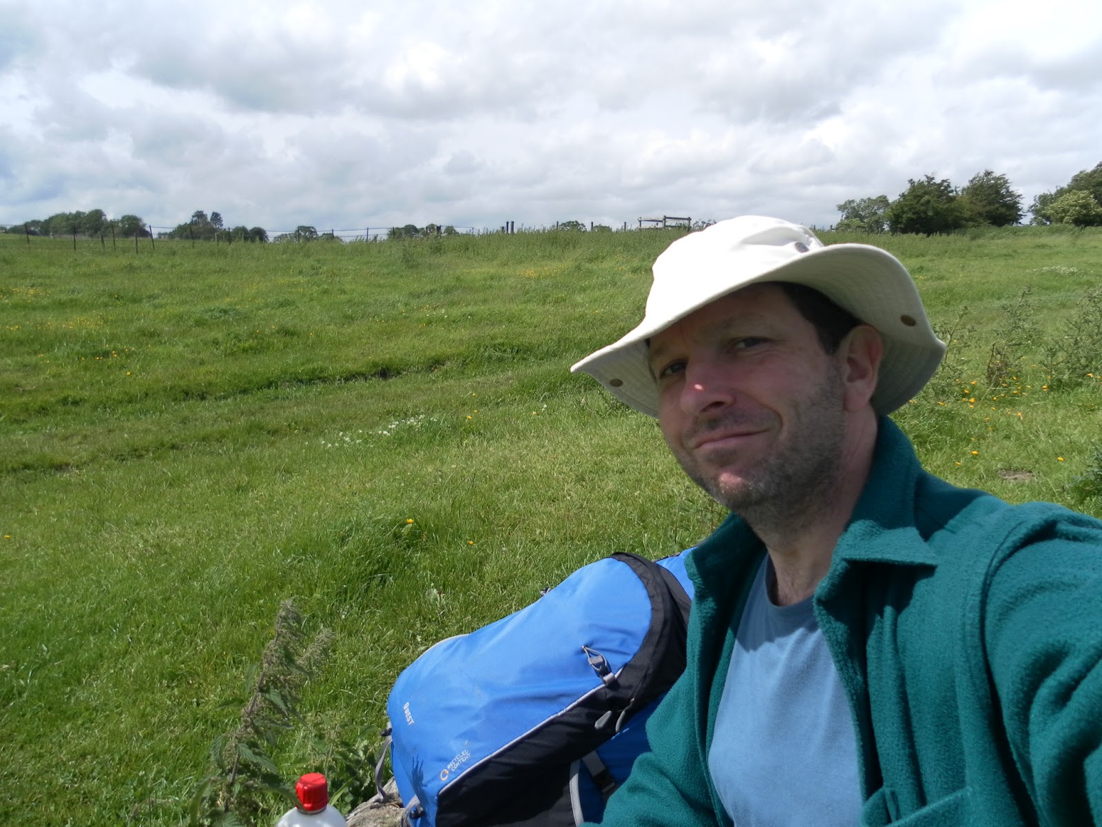
 The path sets off from the bridge over the river in Caldbeck although you have to look hard at the signs on the other side of the road to find the marker discs and there is an initial climb up into the woods to warm up with. The path drops back down to the river and paddles along the edge of a couple of fields to meet a road. Crossing the bridge over the river the path crosses the road and heads through the first overgrown farm gate on the left. I had to peer very hard at the disc marker for this one but the finger sign is clearly marked to Sebergham via St Mary's Church. The gravestones in the churchyard are 5 and 6 feet high. I couldn't see if any were from walkers of the Cumbria Way who had not made it. It has a lovely rose outside the entrance which I had to stop and smell after it wafted across the path.
Signposting is a bit variable around here and the path turns left opposite the church entrance down a farm road and eventually into a field of cows.
Clearly I can't guarantee the cows for you, but if these particular ones are there, be warned they are inquisitive and protective of their calves and they escorted me up the lane and off the premises politely but firmly!


Look carefully and you can see the path disappearing over the edge where the bank has washed away. At Rose Castle and Rose Bridge the Cumbria Way has been rerouted along the river bank (my map shows it across the middle of fields) but the river has also cut the corner with a second channel so I had to divert through some farm gates tied up with binder twine to get to the bridge. The path continues across fields past Limehouse school and Hawksdale Hall. Here I was catching up with some diffident walkers who stopped at every sign and gate to consult their map and book and made hard work of every muddy patch. I didn't want to catch them up so compromised on a chocolate stop on a very large convenient tree stump a couple of fields before Bridge End.
There is a pub at Bridge End but it is on a fairly busy road so I passed on through Buckabank and into Dalston.
At this stage I had a small problem.... I walked off the North edge of the map 3 miles from Carlisle. Maybe I should have taken a guide book!
Dalston turns out to be a pretty village with a nice looking pub and shops and I suspect a lot of people give it up here without troubling Carlisle but if you walk through the village on the road there is a very tiny Cumbria Way sign on a public footpath signpost next to the school pointing you towards Cummersdale. As you approach the river the path becomes tarmac (for cyclists) and this path can be followed all the way to Carlisle. It is hard underfoot, the best views have gone and my legs and feet were complaining by now. As well as the river the railway line accompanies you on the other side until finally the railway crosses the river by a bridge. When I was there there were two bulldozers in the river putting rocks back under the bridge that had been washed away by heavy rain the previous weekend. It turned out there was a fair amount of railway chaos over those days.
Beyond the bridge the path joins a road briefly then continues between the river and a factory until the housing of Cummersdale comes into view. Keeping with the river path and eventually passing a weir, the Cumbria Way signs reappear on the lamp posts. Finally the path crosses the river on an old railway bridge and turns on to the road. They direct you up Castle Street, past the cathedral and to the Market Cross which is the official end of the Cumbria Way.

I was heading home by train which is a slow trudge up the hill past the citadel to the station. There was a huge queue here of people waiting for the delayed train to Euston. I was pleased to be on the Leeds train via Skipton which was not affected by the disruption.
So that was my Cumbria Way in 6 days. Many do it in 5, walking from Langdale to Keswick in one go.
It was a great walk, much better than I expected. I recommend it.
I really enjoyed reading your account of this walk,thank you.
ReplyDeleteWe are starting on Easter Sunday 2015.
Smashing report
ReplyDelete